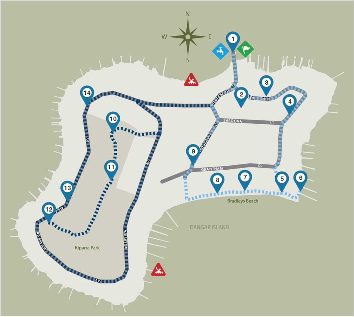
About the Dangar Island

Dangar Island is rich in indigenous, colonial and natural history. Home to over 250 people and one of the few Sydney suburbs without cars, the island boasts pleasant parkland, beaches, natural bushland and spectacular views of the Hawkesbury River. Over 100 animal species (mostly birds) and over 90 plant species have been recorded on or near the island and it contains the only known location of the endangered ecological community known as Blackbutt-Rough-barked Apple Forest.

icon
Location
Hawkesbury River.
icon
Ferry Zone
Travel by Public Transport, Water taxi or Private boat
icon
Toilet Zone
Yallaroi Parade, Dangar Island (24 hours); McKell Park, Brooklyn (24 hours)
icon
Drinking Water Zone
Tap and bubbler at public jetty

facilities

icon Public jetty
icon Picnic Areas
icon Public Beach
icon
Riverview Loop
icon
Bradleys Beach Loop
icon
Points of interest
icon
Start/end points
icon
Roads
icon
Bushland
icon
Drinking water
icon Points of Interest

From 1886 to 1889 the steel spans for the first Hawkesbury Railway Bridge were assembled here. To the east of the jetty a sandstone wall shows the remains of the enclosed ladies’ baths from the Dangar family era.

Built around 1880 by Henry Cary Dangar to supply water to his nearby house, the tower contains an iron tank storing water pumped by windmill from an adjacent well. In the 1940s the top of the tower was covered by wooden flooring and was used as a watchtower during WWII.

Built in 1890, Dangar’s grand house operated as the Marine Club as Henry, a keen sailor, hosted visiting yachtsmen. After Henry died in 1917 it became a guest house called the Marine Hotel until it was largely destroyed by fire in 1939. The sole surviving section, called The Pavilion, had served as a billiard-smoking room, separated from the house by a fernery. In the 1940s it became a boarding house, and is now a private residence.

The huge native trees along Grantham Street, known as Blackbutts (Eucalyptus pilularis) are heritage listed. Some specimens are possibly centuries old and may have been saplings when Governor Arthur Phillip first landed on the island.

These trees are remnants of Blackbutt-Rough-barked Apple Forest. This regionally rare ecological community is restricted to Dangar Island where it is significantly depleted by past land use and residential development. The largest Blackbutts stand outside 27 Grantham Street. In 2013 due to safety concerns Council removed the limbs of this tree, retaining the trunk for wildlife habitat. The tree responded with a profusion of new growth, called epicormic shoots that give damaged trees a ‘fuzzy’ appearance.

Before taking the laneway to the beach, look for the plaque on the left commemorating the landing on the beach by Governor Arthur Phillip in 1788. This beach was named in honour of Lieutenant William Bradley, a member of the first 1788 British exploration party.

Each year between October and March, the beach and adjacent Mareela Reef become an important resting and feeding place for local and migratory shorebirds. Species recorded include Eastern Curlew, Bar-tailed Godwit, Whimbrel, Common Sandpiper, Sharp-tailed Sandpiper, Grey-tailed Tattler and Little Curlew. Some make annual journeys of over 24,000 kilometres from Siberia and Alaska to Australia and back. Help protect the birdlife by keeping dogs on a leash and away from shorebird habitat.

The beach is also home to armies of soldier crabs (Mictyris longicarpus), often seen storming the beach at low tide.

On the rocky shore a rusty iron ring is concreted into the bedrock, with another located under the water line. These are the anchorage points for a boom net that stretched across to Little Wobby on the opposite shore during the Second World War. The net (together with one on the south of the island) was to stop Japanese submarines from reaching the Hawkesbury Railway Bridge, a strategically important target. The house located above was the ‘commander’s cottage’, and a machine gun was positioned here to protect the anchorage points.

The yellow marker buoys located in the water off Bradleys Beach highlight the perimeter of a seagrass bed. Seagrasses grow in sheltered and shallow waters of estuaries. They are valuable fish habitats and are often referred to as the nurseries of the ocean. Seagrass communities are extremely fragile and easily damaged by boat propellers and anchors. Many major estuaries in NSW have lost as much as two-thirds of their seagrass beds in the past 30-40 years.

Before the land was ‘reclaimed’ for residential development, the area behind Bradleys Beach was a wetland containing Swamp Mahogany Forest. It would have provided valuable habitat for birdlife and perhaps a source of fresh water. A few remnant trees from this endangered ecological community may still be seen.

This house, built around 1922, is a well preserved example of the first dwellings built on Dangar Island following its initial sub-division.

The large cast iron structure on the summit of the island is a tank that was once Dangar Island’s main source of water. The island was connected to mains water in 1971 so the structure is no longer used for this purpose.

This bushland reserve on the summit of the island consists of the regionally rare Blackbutt-Rough-barked Apple Forest. The dominant canopy species include Blackbutt (Eucalyptus pilularis), Sydney Red Gum (Angophora costata), Rough-barked Apple (Angophora floribunda), Forest Oak (Allocasuarina torulosa), and Red Bloodwood (Corymbia gummifera). Since 1993, a group of volunteers has undertaken restoration work in this reserve under Hornsby Council Bushcare Program, controlling introduced weeds and garden escapes and revegetating with locally indigenous species where required.

At the base of the electricity stanchion is a rock platform with inspiring views to Long Island, a 73 hectare Nature Reserve, and Sandbrook Inlet. A difficult scramble down the rocks provides a shortcut to Riverview Avenue, otherwise return back along the same trail.

Sandstone rock cuttings and gutters along much of Riverview Avenue were constructed by relief labour during the 1930’s Great Depression. Evidence of the gruelling manual labour during this harrowing time may be seen.

Notice the piers from the original bridge completed in 1886 and replaced in 1946 due to structural issues. Five of the piers were sunk to record depths between 46m to 49m below high water however the depth of the sediment made it impossible to reach bedrock. The new piers were sunk to depths of up to 56m.

The completion of the first Hawkesbury River Railway Bridge saw the completion of railway links through South Australia, Victoria and New South Wales. Used by Sir Henry Parkes as a symbol of Federation in his address at the bridge opening, claimed by some as his first Federation speech.

Due to areas of limited mobile coverage, remember to download this map (PDF) before you begin walking.